CCOM/JHC in the News This Day Live
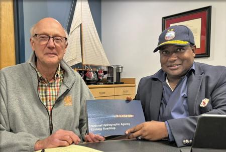
Mar. 9, 2024 Rear Admiral Ayo Olugbode of the Nigerian Navy visited CCOM to discuss opportunities for collaboration and synergy. Wall Street Journal
Jan. 26, 2024 CCOM director Larry Mayer has weighed in on the tech that Tony Romeo used in his expedition to find Amelia Earhart's lost plane, saying that it's what he would use. The Sasakawa Peace Foundation
Jan. 19, 2024 A CCOM project, "Next Generation Seafloor Mapping Tools," has been chosen as one of four projects to be funded by the Ocean Shot Research Grant—a program dedicated to advancing innovative studies for the better understanding and sustainable management of our oceans—from the Sasakawa Peace Foundation's Ocean Policy Research Institute. |
Upcoming and Recent Seminars Elizabeth Reed-Weidner Postdoctoral Fellow Marine Physical Lab Friday, May. 3, 2024, 3:10pm 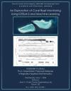 Gabrielle Trudeau Ph.D. Student CCOM/JHC Wednesday, May. 1, 2024, 2:30pm  Sara Santos Ph.D. Candidate and Graduate Ostrach Fellow Dept. of Engineering Friday, Apr. 26, 2024, 3:10pm |
|
Spotlight on...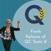 Just released! QC Tools 4 has direct support for NOAA’s new hydrographic survey specifications and enables its automated compliance. QC Tools functions that provide QA/QC to bathymetric grids and feature files now have settings configured to the new NOAA Quality Metrics introduced in the HSSD 2024. |
![]()
Chase Ocean Engineering Lab • 24 Colovos Road • Durham, NH 03824![]()
![]()


Phone: 603.862.3438 • Fax: 603.862.0839
lat/lon: 43.13555; -70.9395
Copyright ©2024 The University of New Hampshire, Durham, NH 03824